
"Be Still and Know that I am God"

Geographical Location of Romania
The geographical location of Romania is at 45/46º North, latitude and 25º East, longitude therefore this puts the country in the northern hemisphere and at the geometric centre of Europe.
The geographic location of Romania on the earth determines the four seasons and it's climate and thus the permanent change in the length of days over the course of a year. The latitude, approximately 525km, results in temperature differences between the north and the south of the country. Due to it's longitude, about 740km, the sun rises almost 38 minutes earlier in the east. This is why you will find different crops are grown in the north, rye and potatoes and in the south, vines are popular.
The total area of Romania is 238,397km² making it the twelfth largest in Europe and is in the temperate zone with its location in the interior of the continent, in the South East of Central Europe. It is approximately equidistant from the coasts of the Atlantic, Arctic Oceans and the Ural Mountains which gives the climate a milder continental character.
Neighbouring countries include: Bulgaria to the South (border length 631.3km), Moldova to the North East (border length 681.3km), Serbia to the South West (border length 546.4km), Ukraine to the North (border length 649.4km) and Hungary to the North West (border length 448km). The Black Sea is to the East (border length 193.5km). The total border length of Romania is 3149.9km, of which 1877.1km is with the European Union as from 2007.
| Name & website | Address | Description |
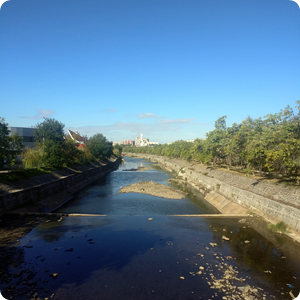
Baia Mare
Baia Mare
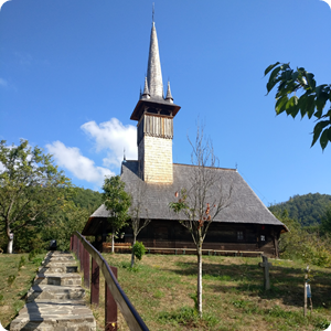
Baia Mare
Geography of Romania - Geographical Location