
Map of Województwo Małopolskie
Discover the Małopolskie Province in the south of Poland, on the border with Slovakia. Its name is often rendered in English as "Lesser Poland Voivodeship". Geographically, it has the heights of the Tatra Mountains, the rolling countryside of woodlands and farms, and the strange depths of its salt mines. Culturally, it has almost everything: from the fascinating city of Kraków with historic buildings like Wawel Royal Castle, great places to visit, all the entertainment you could want and the villages with Poland's Wooden Churches and dwellings, to the 20th century hell that was the concentration camp Auschwitz.
Adjust the map as you require.
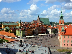
Warszawa
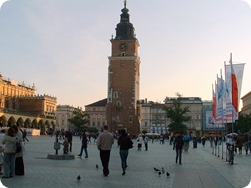
Kraków
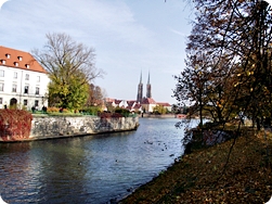
Wrocław
Map of Województwo Małopolskie - David's Travel Guides